>
— only another 2390km to go.
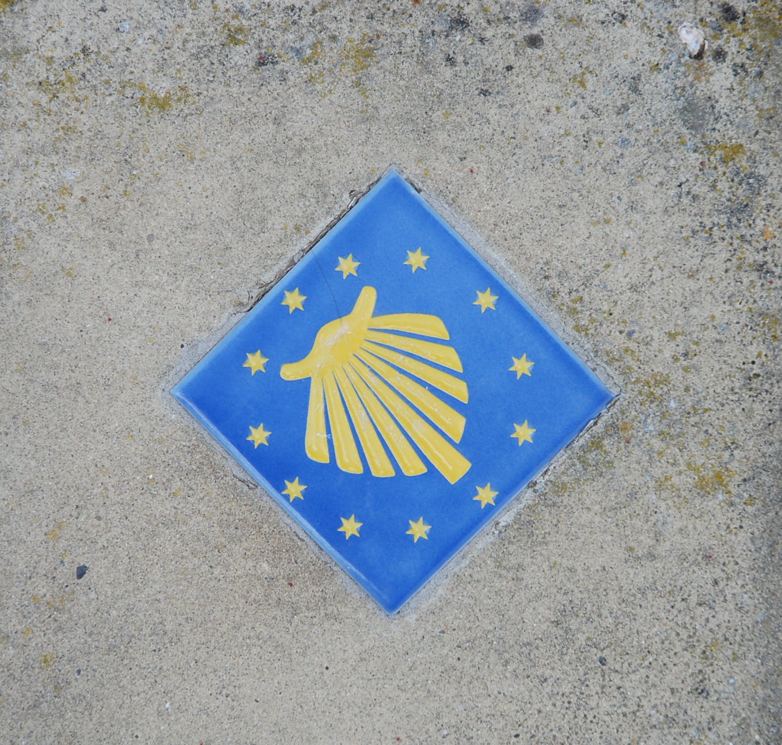
This is a marker on the St James’ Way, the route of an ancient pilgrimage that stretches 2400km to Santiago de Compostela in northern Spain.
The are 4 main tributaries starting in France that feed into el Camino de Santiago in Spain which is the last lap, as it were. And there are loads of pilgrim ways throughout Europe that feed the network.
It’s worked its way from Pagan to Christian to Secular/Christian (although I’m sure there were a few pagans wandering around yesterday to provide me with company…) over the years and is currently enjoying a resurgence of interest, with over 100,000 pilgrims completing the last 100 km of the way and qualifying for the Compstela.
Wikipedia has lots on it.
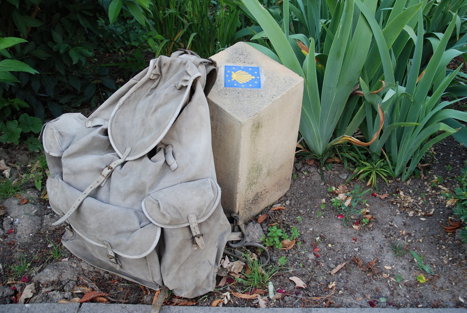
We walked 10 km of the section of the Jakobsweb (as it’s called in German) that runs from Mainz to Speyer, both cathedral cities.
Started in Dittelsheim (yes, I KNOW it’s not Mainz, but it’s close enough) at the protestant church with a saracen tower and walked through vineyards and fields (and along some pretty frightening main roads) to a chapel from where we walked down to visit the fleshpots of Abendheim, there to sup ale and fermented juice of the vine.
And I used my Grandad’s 80+ year old Bergans frame-rucksack. Weighs a ton, but I thought that he’d enjoy tagging along with us.
Especially for the ale.

>Wonderful, informative post, John! I enjoyed the Wiki links, and am impressed that you used your grandfather’s rucksack. The modern shell symbol certainly is readily identifiable for the “pilgrims” but I think I am more intrigued by Wiki’s picture of the former. Sounds as tho you had an interesting day! Great photos!